Introduction
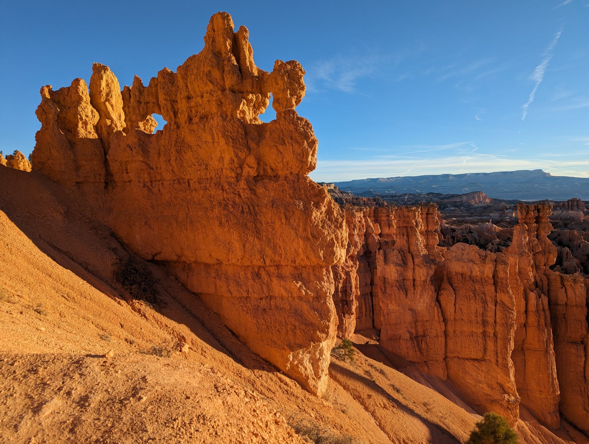
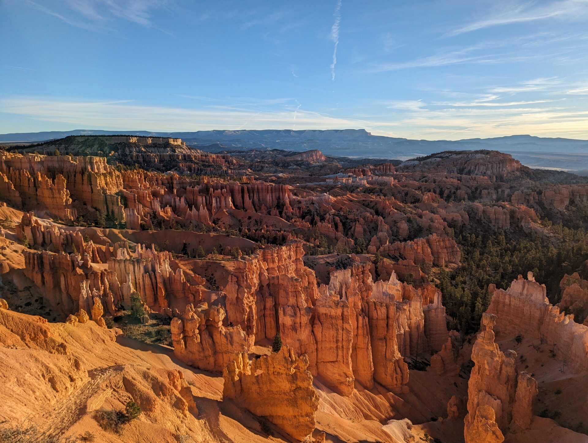
Bryce Canyon isn’t actually a canyon — it’s a series of natural amphitheaters carved into the edge of the Paunsaugunt Plateau in southern Utah, packed with the highest concentration of hoodoos on Earth. Hoodoos are the tall, thin spires of rock that erosion leaves standing after everything softer around them has worn away, and Bryce has thousands of them, in shades of orange, pink, and white that shift with the light through the day.
The Navajo Loop and Queen’s Garden combination is the park’s signature hike, and for good reason: it’s the only way to get down among the hoodoos rather than just looking at them from the rim. Most of Bryce Canyon is experienced from a series of viewpoints along the rim road; this hike is the one that takes you inside the amphitheater itself.
It’s short, it’s steep in places, and it’s consistently ranked among the best short hikes in the entire national park system — not bad for a loop most people finish in two to three hours.
The Landscape: Why Bryce Looks Like Nowhere Else
Bryce Canyon’s hoodoos are the product of frost-wedging: water seeps into cracks in the sedimentary rock, freezes and expands roughly 200 nights a year at this elevation, and slowly breaks the rock apart along its weak points. Combined with acidic rainwater dissolving the limestone, the result is a landscape of narrow spires, fins, and windows that looks less like geology than sculpture.
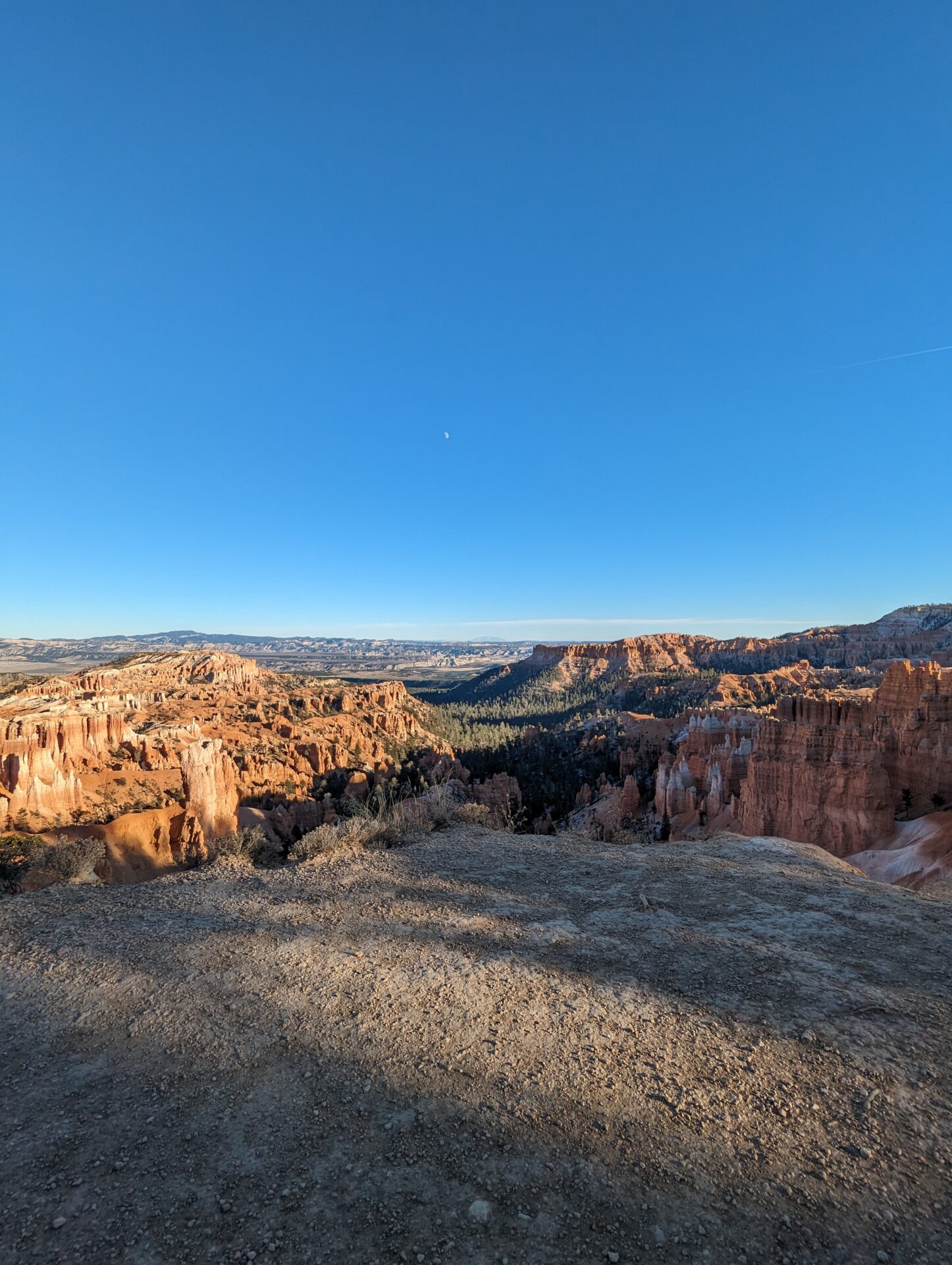
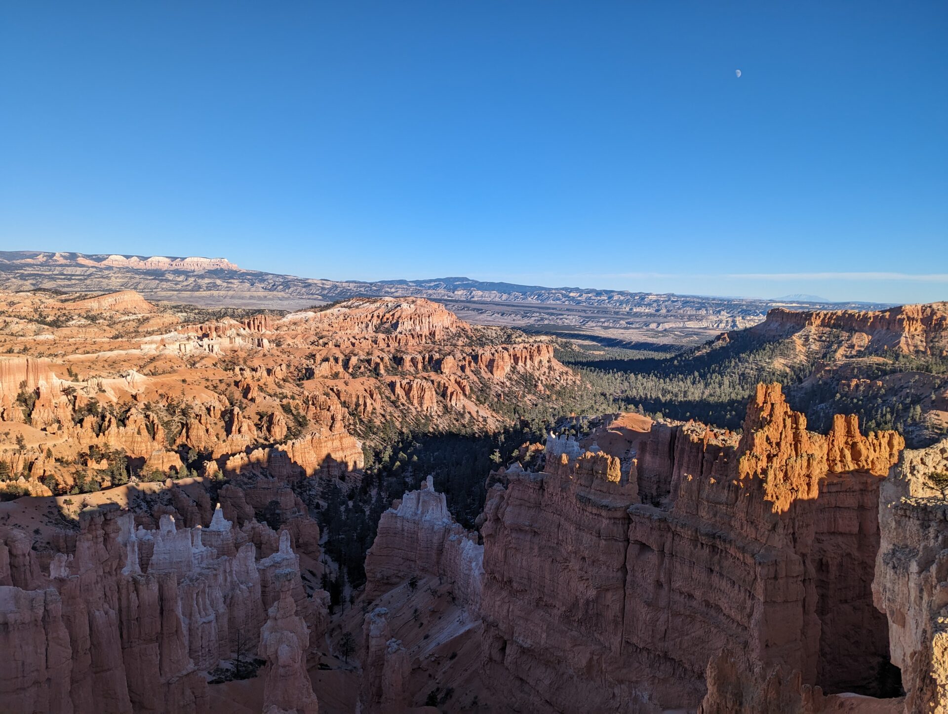
The amphitheater the trail descends into — Bryce Amphitheater — is the largest concentration of hoodoos in the park, and the one nearly every photo of Bryce Canyon is taken in. Elevation here sits around 8,000 feet, which matters more than the short mileage suggests: the climb back out feels harder than it looks on paper.
The Hike: Down Through Wall Street, Back Up Through the Garden
Sunset Point to Wall Street: The Descent
Starting from Sunset Point and heading down the Navajo Loop, the trail switchbacks steeply into the amphitheater before entering Wall Street, a narrow slot canyon between towering rock walls where a pair of ancient Douglas firs somehow grow more than a hundred feet tall in a gap barely wide enough for the trail. It’s the most dramatic section of the entire hike and it comes almost immediately.
[Featured photo: Looking straight up through the slot canyon walls of Wall Street, with the Douglas firs stretching toward the strip of sky far above.]
Among the Hoodoos: The Amphitheater Floor
Once through Wall Street, the trail levels out and winds among freestanding hoodoos, including Thor’s Hammer, a spire balanced on a narrower base right at the base of the switchbacks. This is the section where the “amphitheater” framing makes the most sense: the walls of the canyon rise on all sides, hoodoos everywhere, and the light bounces between orange rock and blue sky in a way that photos never quite capture.
[Featured photo: Hoodoos rising from the amphitheater floor, layered oranges and whites against a deep blue sky.]
Queen’s Garden: The Climb Out
Connecting over to the Queen’s Garden Trail for the return leg adds distance but trades Navajo Loop’s steepness for a gentler, more gradual climb back to the rim at Sunrise Point — most people find this combination easier on the knees than doing the Navajo Loop as an out-and-back. The trail passes beneath natural rock windows and past the Queen Victoria hoodoo the trail is named for, a formation that, from the right angle, does genuinely resemble a robed figure.
Practical Details
- Distance: About 2.9 km (1.8 miles) one-way if combining Navajo Loop and Queen’s Garden between Sunset Point and Sunrise Point; longer as a there-and-back on either trail alone.
- Elevation: Roughly 150–170 m (500–600 ft) of descent and re-ascent, starting and ending above 8,000 feet.
- Difficulty: Moderate. Well-maintained and heavily trafficked, but steep switchbacks and high elevation make it feel harder than the distance suggests.
- Getting there: Sunset Point and Sunrise Point are both accessible via the park’s free shuttle or the main park road, a short walk from the visitor center.
- Best time: Early morning for softer light and cooler temperatures; the trail gets crowded by mid-morning in summer.
- Facilities: Restrooms and water at both trailheads; the shuttle solves the one-way logistics if you start and finish at different points.
Common Mistakes
The most common one is underestimating the elevation. At 8,000-plus feet, the climb back out of the amphitheater is noticeably harder on the lungs than the same climb would be at sea level, regardless of fitness level. Pace yourself on the ascent more than you think you need to.
The second is doing Navajo Loop as a straight out-and-back rather than connecting to Queen’s Garden. The full loop is barely longer and turns a repeat of the same steep switchbacks into a varied hike with a gentler return.
The third is skipping the early start. By late morning in peak season, both trailheads and the connecting trail are genuinely crowded, and the parking at Sunset Point fills up — the shuttle is the more reliable option after early morning.
FAQs
Is this hike suitable for kids?
Yes, it’s one of the more family-friendly hikes in the park — well-maintained, well-signed, and short enough for most kids to manage, though the switchbacks and elevation mean a slower pace than an adult alone would set.
Do I need a permit?
No permit is needed for the day hike itself, just the standard Bryce Canyon National Park entrance fee.
Can I do just one of the two trails?
Yes — Navajo Loop alone as an out-and-back is about 2.2 km (1.3 miles) round trip, and Queen’s Garden alone from Sunrise Point is similar. Combining them is only slightly longer than either alone and is the generally recommended way to do it.
Conclusion
The Navajo Loop and Queen’s Garden combination packs more genuinely strange, beautiful landscape into a couple of hours than almost any other short hike in the American Southwest. It’s the difference between looking at Bryce Canyon from the rim and actually walking through it, and it’s worth arranging an early start around.
Related hikes: if you enjoyed this, check out our Goblin Valley and Grand Canyon Track write-ups for more short, high-payoff trails.
Distance: 2.9 km | Difficulty: Moderate | Time: 2–3 hours