Introduction
Most people who fly into Christchurch never hear the name Godley Head. It sits at the far end of the Port Hills, past Sumner and Taylors Mistake, guarding the entrance to Lyttelton Harbour with a working lighthouse on one side and a warren of crumbling World War II gun emplacements on the other. The Godley Head Walkway links the two, tracing a loop of volcanic sea cliffs, tussock headland, and hidden bays that most visitors to the South Island drive straight past on their way to somewhere else. That is very much their loss.
This is a coastal walk in the truest sense: the ocean is visible for almost the entire route, the wind rarely lets up, and the reward is less a single viewpoint than a constantly shifting panorama of Pegasus Bay, the harbour entrance, and Banks Peninsula’s volcanic rim. It is also a walk with a story, since the concrete bunkers along the ridge were built in a hurry in 1939 when a Japanese invasion of New Zealand’s coastline seemed like a real possibility.
The Landscape: A Volcano’s Rim Meets the Pacific
Godley Head is the eroded remnant of the Lyttelton volcano, the same eruptive centre that carved out Lyttelton Harbour itself millions of years ago. What’s left is a headland of dark basalt cliffs dropping straight into the Pacific, cut through with narrow gullies where scrub and flax have taken hold out of the wind. Banks Peninsula was an island before rivers filled in the plains that now connect it to Christchurch, and standing on the headland it is easy to see why early sailors mapped it that way.
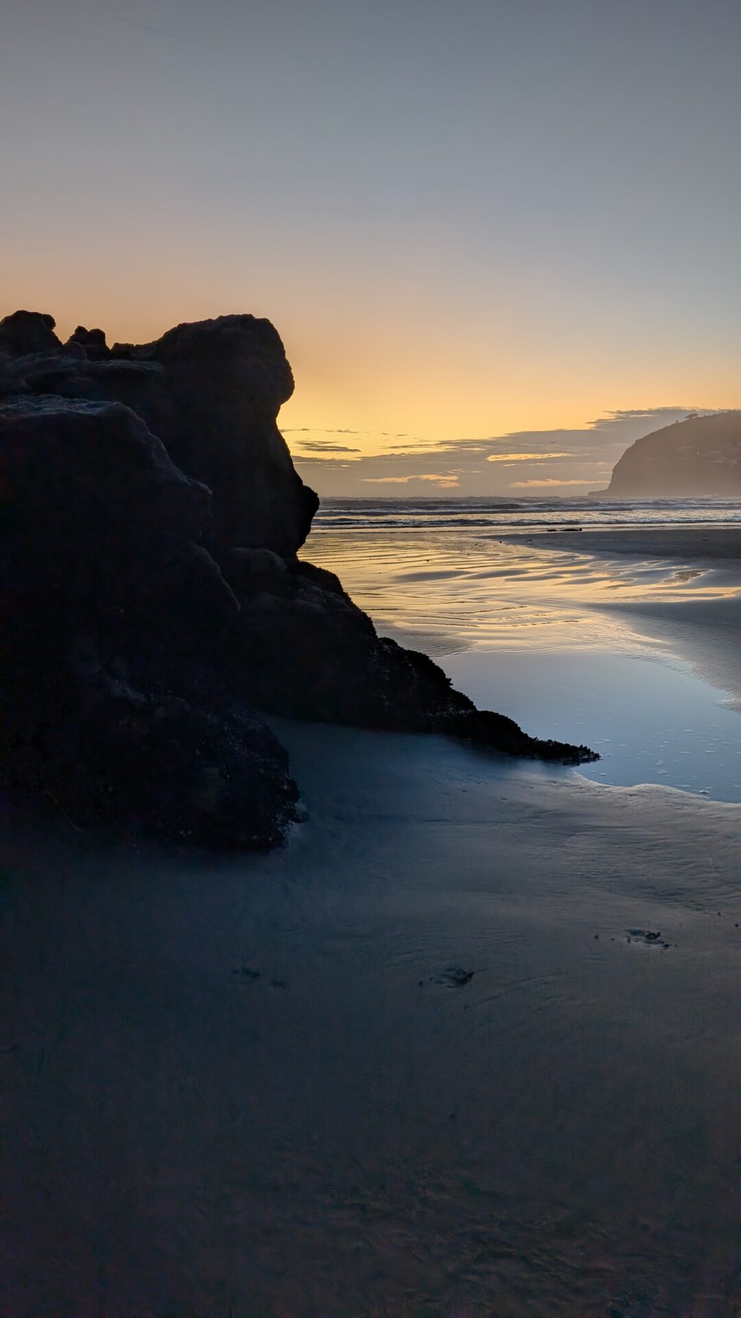
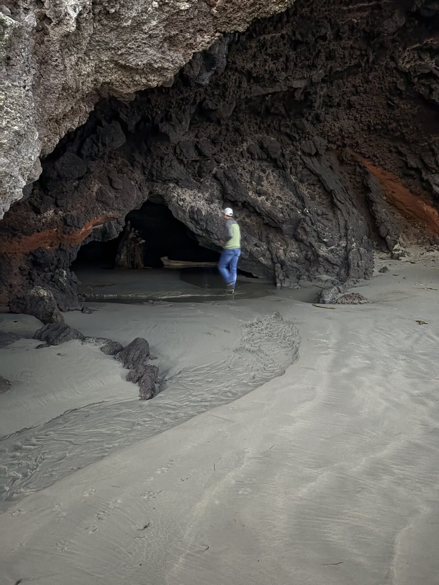
The coastline here takes a beating. Swell rolls in unbroken from the open Pacific, and the cliffs show it: sea caves, blowholes, and rock stacks are visible from several points along the track. On a clear day you can see south to Akaroa’s crater rim and north across Pegasus Bay to the Kaikoura Ranges, snow-capped for much of the year.
The Hike: Cliffs, Bunkers, and a Working Lighthouse
The full Godley Head Walkway is a loop of roughly 7 kilometres starting and finishing at Taylors Mistake, though most people begin from the Godley Head car park near the old signal station, which cuts the walk down to a more manageable there-and-back or partial loop. Either way, the track spends almost its entire length on exposed clifftop, so check the forecast before you go: the wind here is not decorative.
Taylors Mistake to the Clifftop
From Taylors Mistake the track climbs steadily out of the beach settlement’s cluster of old bach cottages and onto open grassy headland. Within twenty minutes the houses disappear behind you and it’s just cliff, sky, and the sound of the sea working on the rock far below. [Featured photo: the track climbing out of Taylors Mistake with the beach and baches behind]
The Battery: Godley Head’s WWII Backstory
The track’s centrepiece is the Godley Head Battery, a complex of gun emplacements, tunnels, searchlight positions, and observation posts built in 1939 and 1940 to defend Lyttelton Harbour. Two six-inch guns were installed here, capable of hitting a target well out into Pegasus Bay, though they were never fired in anger. The concrete structures are largely intact and open to explore, sunk into the hillside and now half-reclaimed by grass, and information panels along the track explain what each one did. It’s an odd, slightly eerie contrast: wildflowers and skylarks around fortifications built for a war that, on this coastline, never arrived. [Featured photo: one of the gun emplacement tunnels with the harbour entrance visible beyond]
The Lighthouse and Boulder Bay
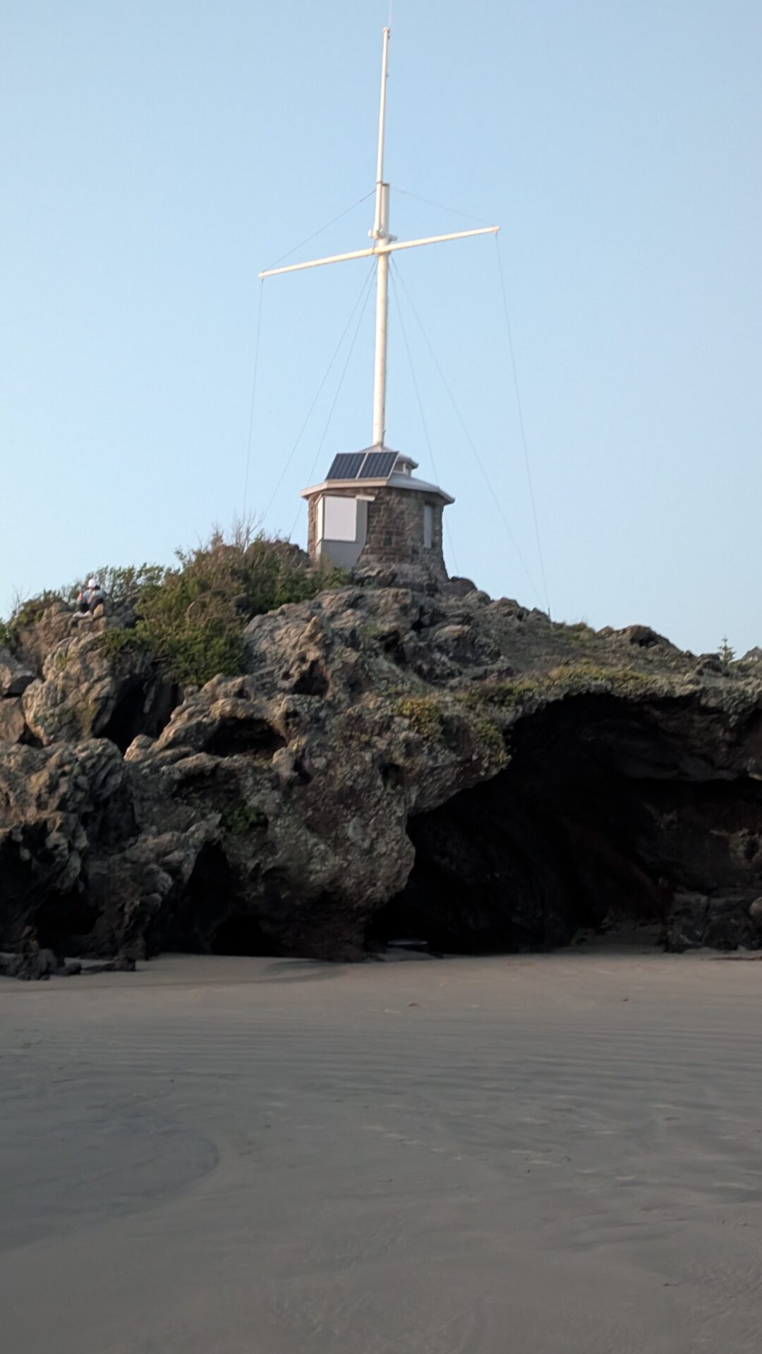
Past the battery the track descends toward Godley Head Lighthouse, a squat automated light that has marked the harbour entrance since the 1940s, replacing an earlier light at Godley Head itself. From here the walkway continues down to Boulder Bay, a small, sheltered cove that makes a good turnaround point or lunch stop before the climb back up. The descent to Boulder Bay is steep enough to notice, and it’s the one part of the walk where you’re briefly out of the wind.
Practical Details
- Distance: Up to 7 km for the full loop from Taylors Mistake; shorter out-and-back options of 3-5 km from the Godley Head car park
- Elevation gain: Around 150-200m, spread across rolling clifftop terrain
- Difficulty: Easy to moderate
- Getting there: Drive to Taylors Mistake or the Godley Head car park via Summit Road, about 25 minutes from central Christchurch
- Best time: Year-round, though a calm day is worth waiting for given the exposure to wind
- Facilities: None on the track itself; toilets and cafes at Taylors Mistake and nearby Sumner
Common Mistakes
The biggest one is underestimating the wind. Godley Head sits fully exposed to whatever is coming off the Pacific, and a still day in Christchurch can turn into a battering gale the moment you crest the headland. Check the forecast for Sumner or the Godley Head area specifically, and bring a windproof layer even if the city forecast looks calm.
The second is treating the WWII battery as a quick photo stop and rushing through it. The tunnels and gun emplacements reward a bit of time: bring a torch if you want to properly explore the darker tunnel sections, and read the information panels, which explain the site far better than guessing ever will.
The third is assuming the full 7 km loop and the shorter car-park walk are the same thing. Trip reports and photos online sometimes blur the two together, so decide in advance which version you’re doing and plan your return transport accordingly, since the full loop finishes at a different point than it starts unless you arrange a shuttle or double back.
FAQs
Is this hike suitable for kids?
Yes, particularly the shorter out-and-back from the Godley Head car park, which is flat enough for most children. Keep a close hold on younger kids near the unfenced clifftop sections, and be aware the WWII tunnels are unlit and have some uneven footing.
Do I need a permit?
No. Godley Head Scenic Reserve is public land managed by the Department of Conservation and Christchurch City Council, and the walkway is free and open year-round.
Can I combine this with other Port Hills walks?
Yes. The Godley Head Walkway connects into the wider Te Ara Ihutai Coastal Walkway, which links Taylors Mistake through Sumner and on toward Lyttelton, so if you want a longer day it’s easy to extend in either direction.
Conclusion
Godley Head is the rare walk that gives you two entirely different reasons to show up: a genuinely dramatic stretch of volcanic coastline, and a slice of New Zealand’s wartime history sitting half-buried in the grass above it. It’s close enough to Christchurch to fit into a half day, remote enough in feel that you’ll likely have long stretches of track to yourself, and varied enough that first-timers and repeat visitors both tend to find something new. Bring a windbreaker, bring a torch for the tunnels, and give yourself more time than you think you’ll need.
Related hikes: if you liked the coastal drama here, the Grand Canyon Track in the Blue Mountains and the trails around Bryce Canyon both pair rock formations with a real sense of scale.
7 km (full loop) | Easy-Moderate | 2-3 hours