Sent My Wife Shopping and Went Looking for Trouble
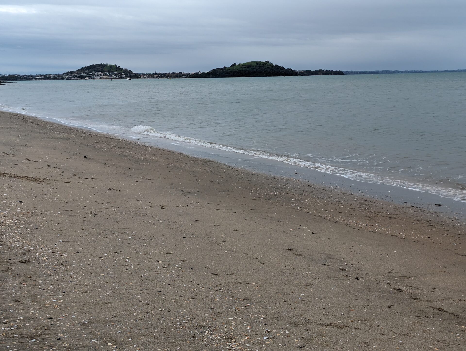
There’s a particular kind of freedom in being handed a free morning while your wife goes shopping on a wine island. Most people would call that an invitation to a tasting room. I called it an invitation to walk the entire northern half of Waiheke Island by myself, which is how I ended up circling Matiatia, Owhanake, and Oneroa on a trail called, straightforwardly enough, the Northern Walk.
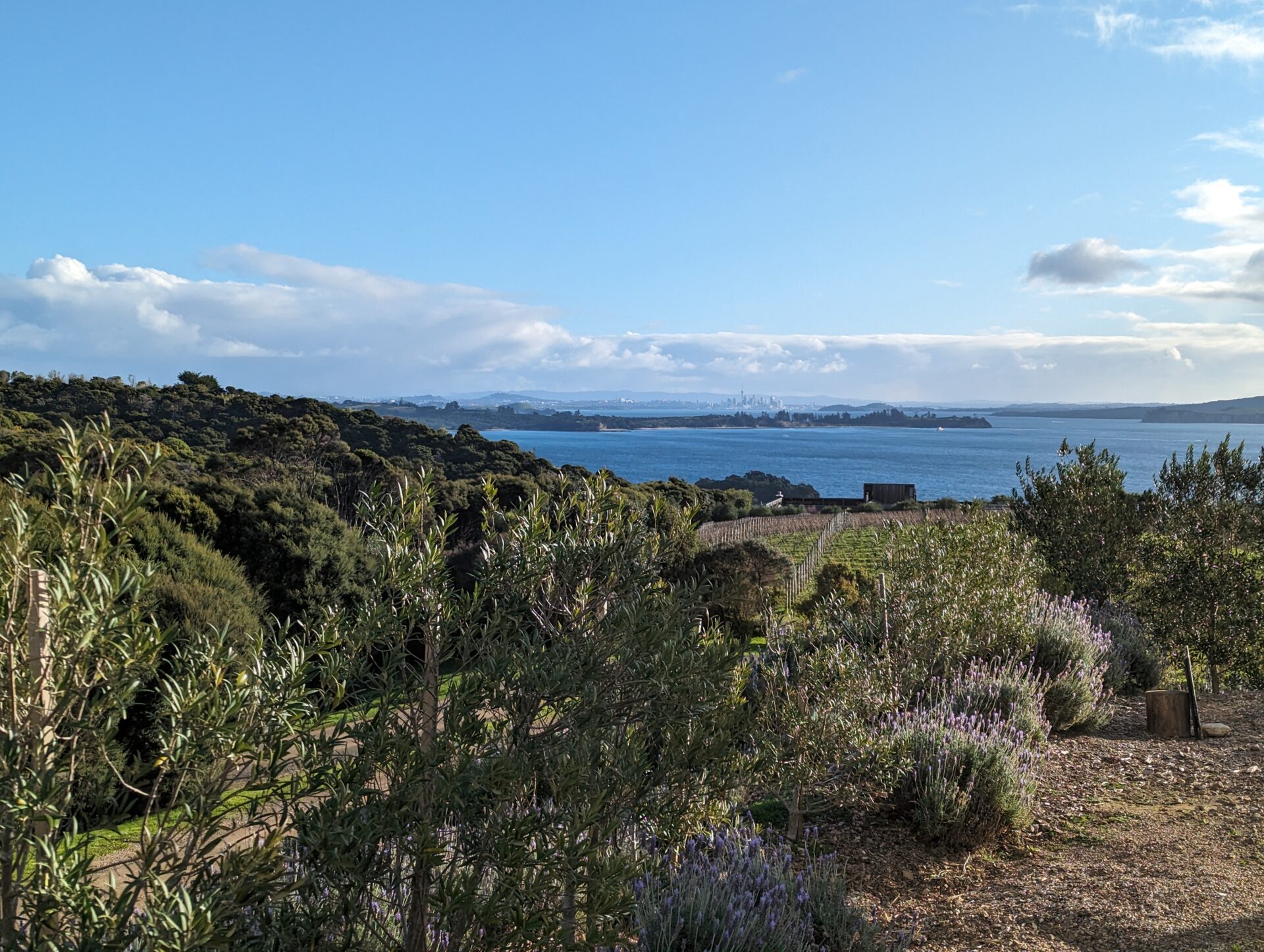
Waiheke sits in the Hauraki Gulf a short ferry ride from downtown Auckland, and it has a reputation as New Zealand’s answer to a Mediterranean island — vineyards terraced above the water, beaches tucked into every bay, and a pace of life that suggests nobody there has ever been in a hurry. What the vineyard brochures don’t mention is that “winter” in the Southern Hemisphere means July, and July had apparently turned every unpaved inch of that trail into something closer to a Slip ‘N Slide than a hiking path.
Grandiose Views, Treacherous Footing
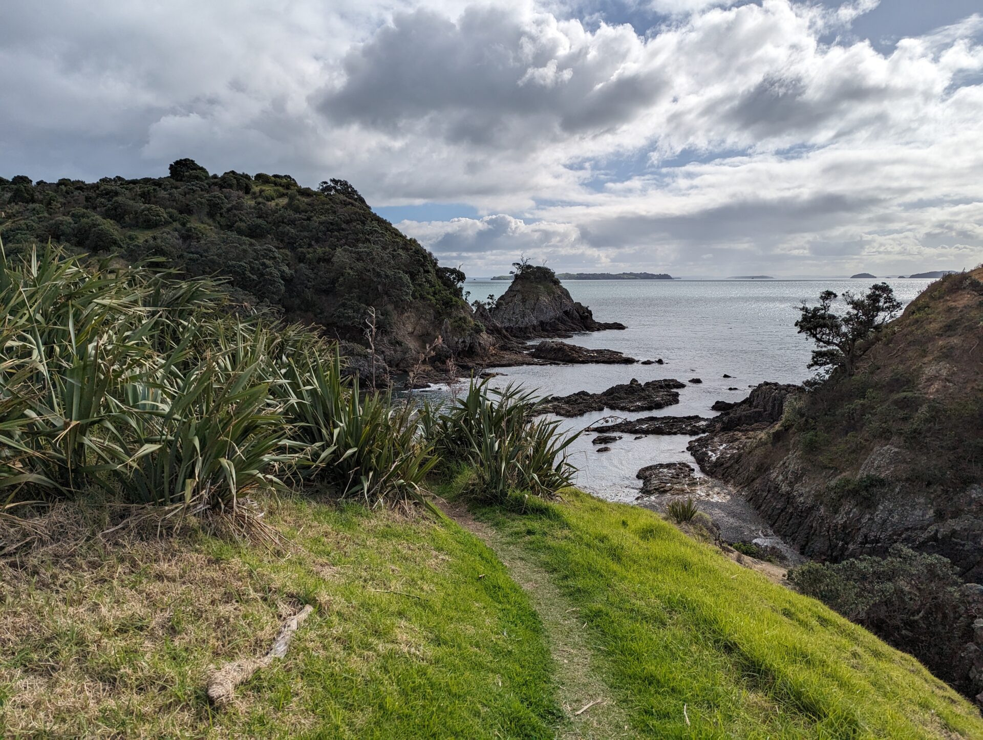
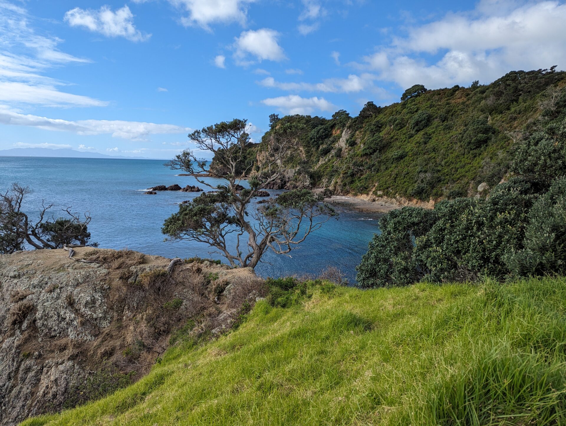
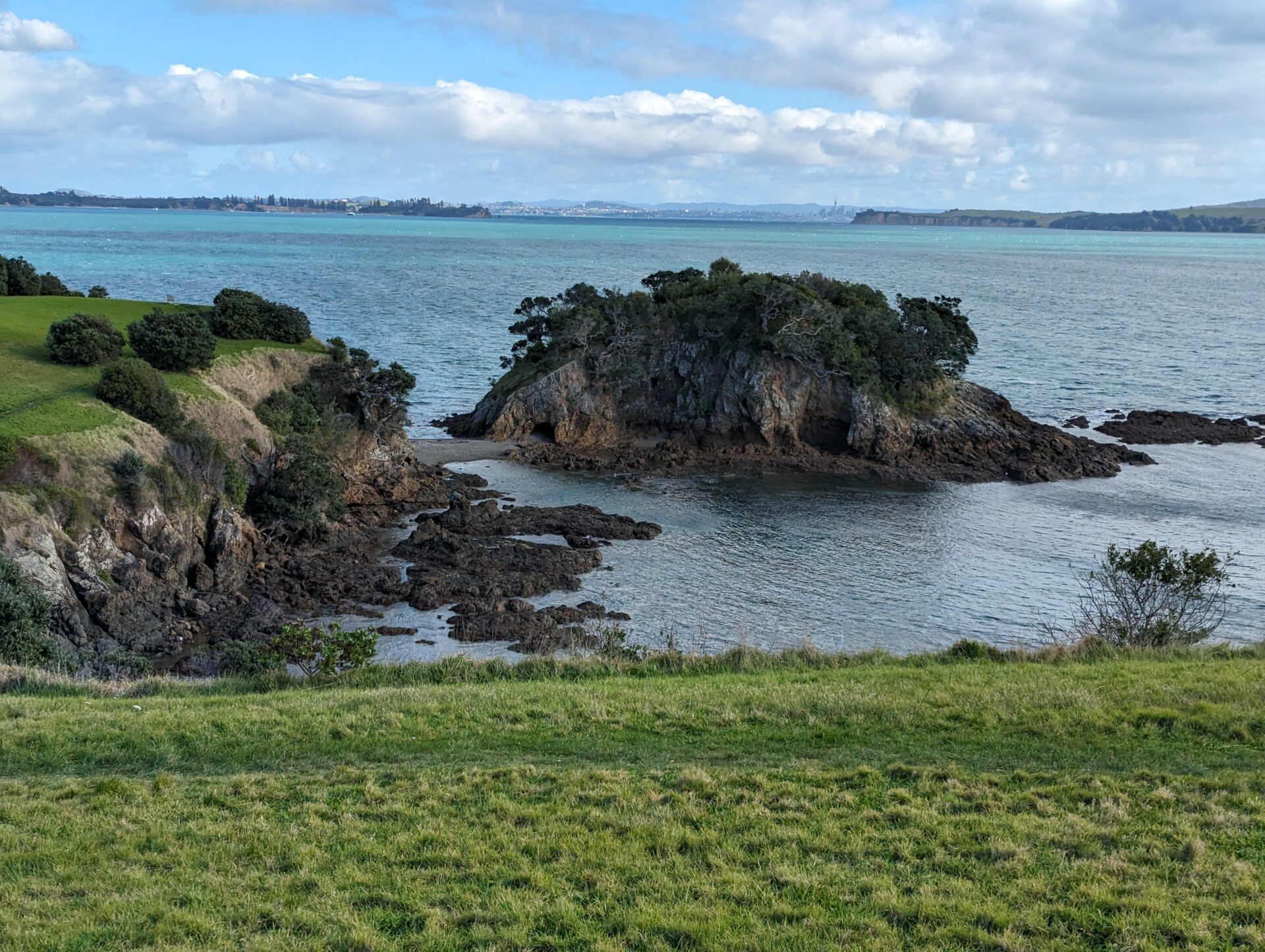
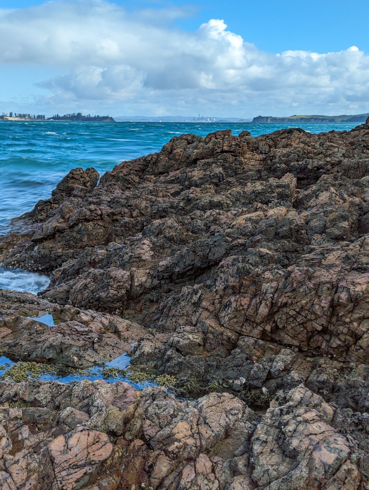
The Northern Walk loops out from Matiatia — where the ferry drops you — up along the coast toward Owhanake Bay, out to a WWII-era observation post with sweeping views back across the gulf, and down through the Matiatia Historic Reserve before closing the loop. On a dry day it would be a fairly civilized 4.4 miles. On this particular July morning, it was 4.4 miles of me windmilling my arms for balance on every downhill switchback, since the clay-heavy soil turns to something with the consistency of wet soap the moment it rains — and it had clearly been raining for days.
I want to be honest about how this went: I did not stay upright the entire time. I made it back to Matiatia in one piece, but “in one piece” and “clean” are not the same thing, and I was very much not clean. Mud on the hands, mud on the pants, mud in places mud has no business being. If you’d seen me waiting for the ferry back, you’d have assumed I lost a fight with the trail. You’d have been right.
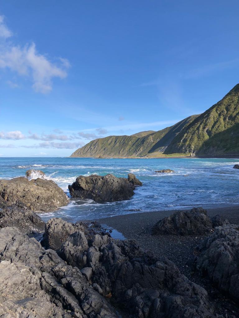
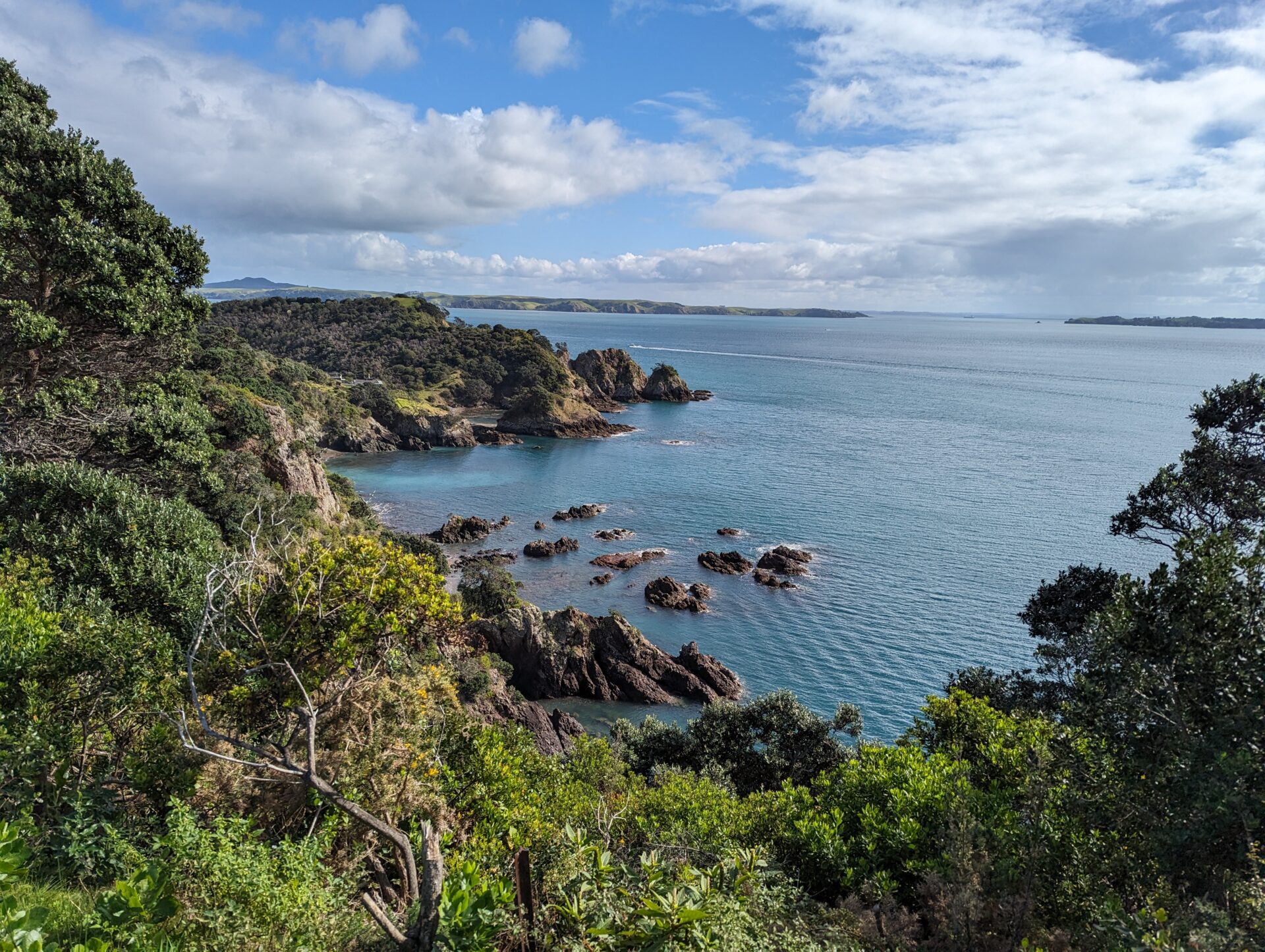
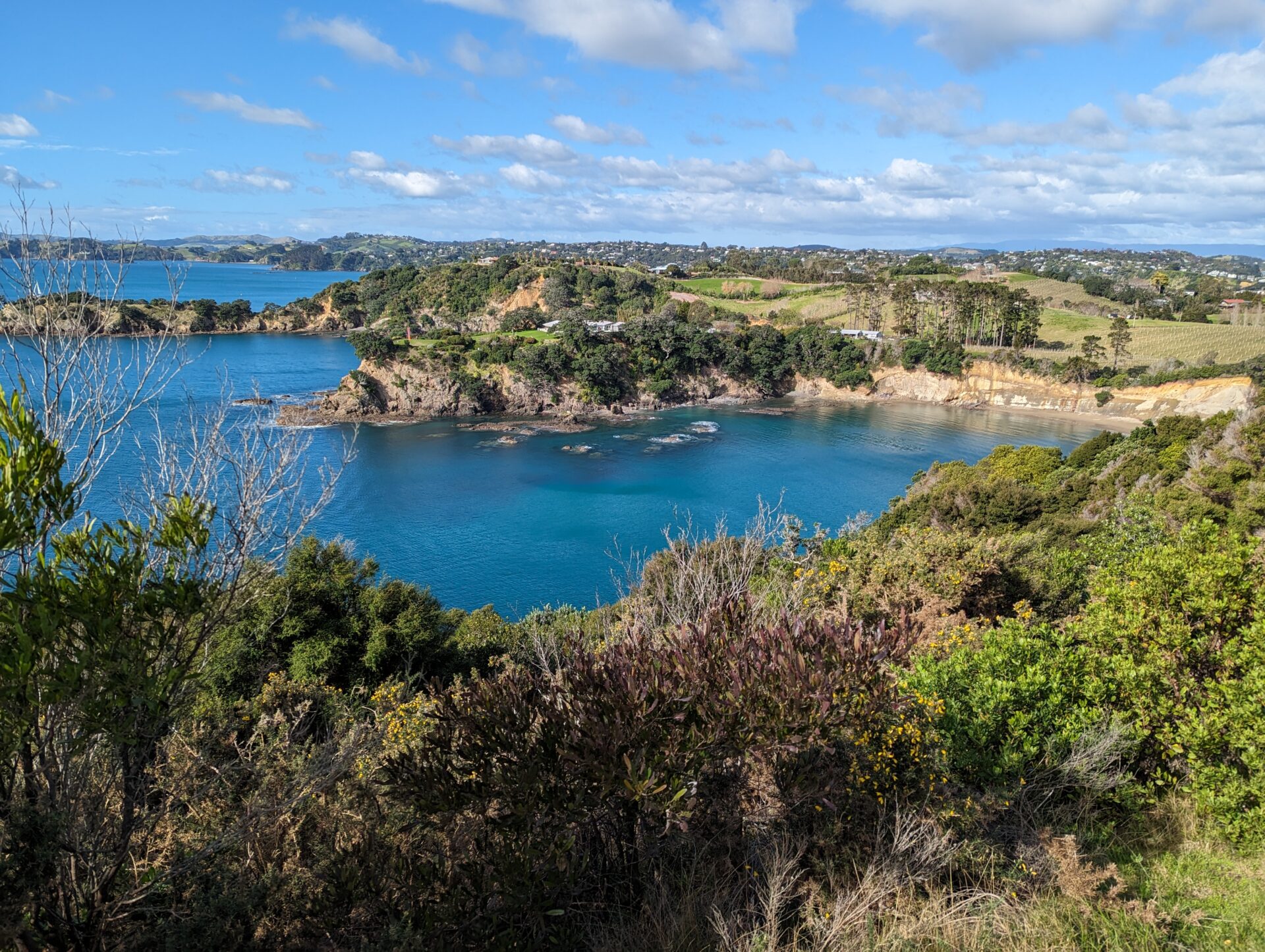
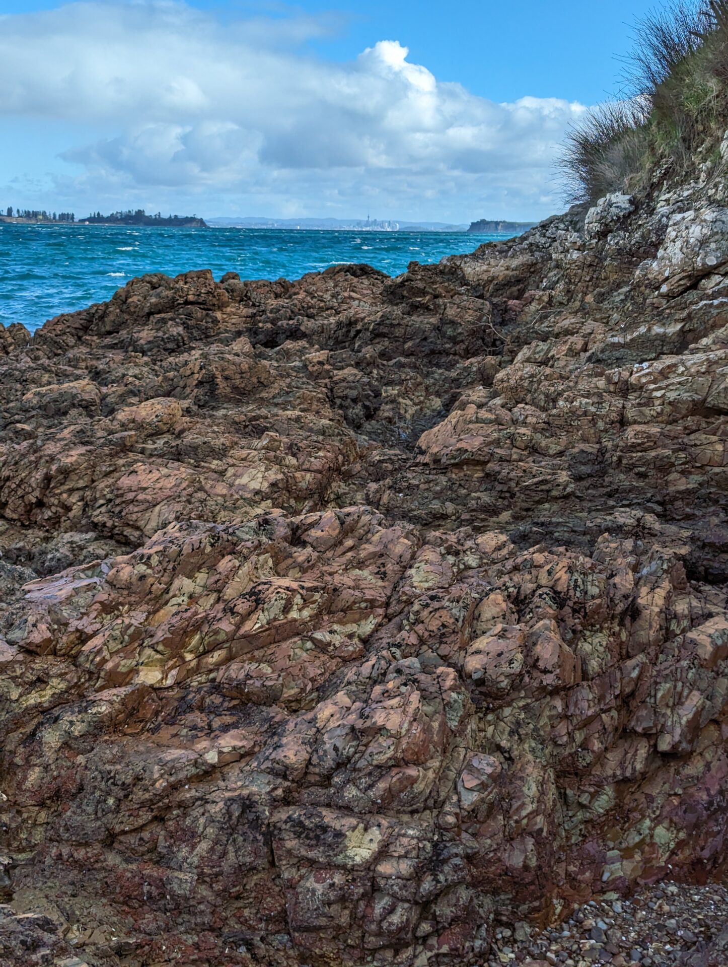
None of which changes my verdict on the hike: this was, without exaggeration, one of the best short hikes I’ve ever done. The stretch along the northern cliffs — where the trail hugs the edge above Island Bay and Fossil Bay with nothing between you and the water but a few hundred feet of air — is the kind of view that makes you forget you’re currently sliding downhill sideways. Whatever the trail took from my dignity, it gave back tenfold in scenery.
The Numbers
The full loop clocked in at 4.38 miles with about 499 feet of elevation gain, and it took me roughly an hour and 38 minutes of moving time — closer to an hour and 41 with stops for photos (and, if we’re counting honestly, a stop or two to peel myself off the ground). None of the climbing is severe on its own; it’s the surface, not the grade, that makes this one harder than the stats suggest.
If You Go
Do this hike in the dry season if you have any say in the matter — the views are the same, but you’ll spend a lot less time treating every downhill like a personal challenge. If you do end up here in the wet months like I did, trekking poles aren’t optional, they’re a mercy. Wear shoes you don’t mind ruining, and budget extra time; what should be a brisk morning loop turns into a slow, deliberate negotiation with the ground.
And if your travel companion offers to go shopping while you go hiking — take the deal. Just maybe don’t tell her what you’re bringing back to the hotel room until you’re standing outside it.
Distance: 4.38 mi | Elevation gain: 499 ft | Moving time: 1h 38m